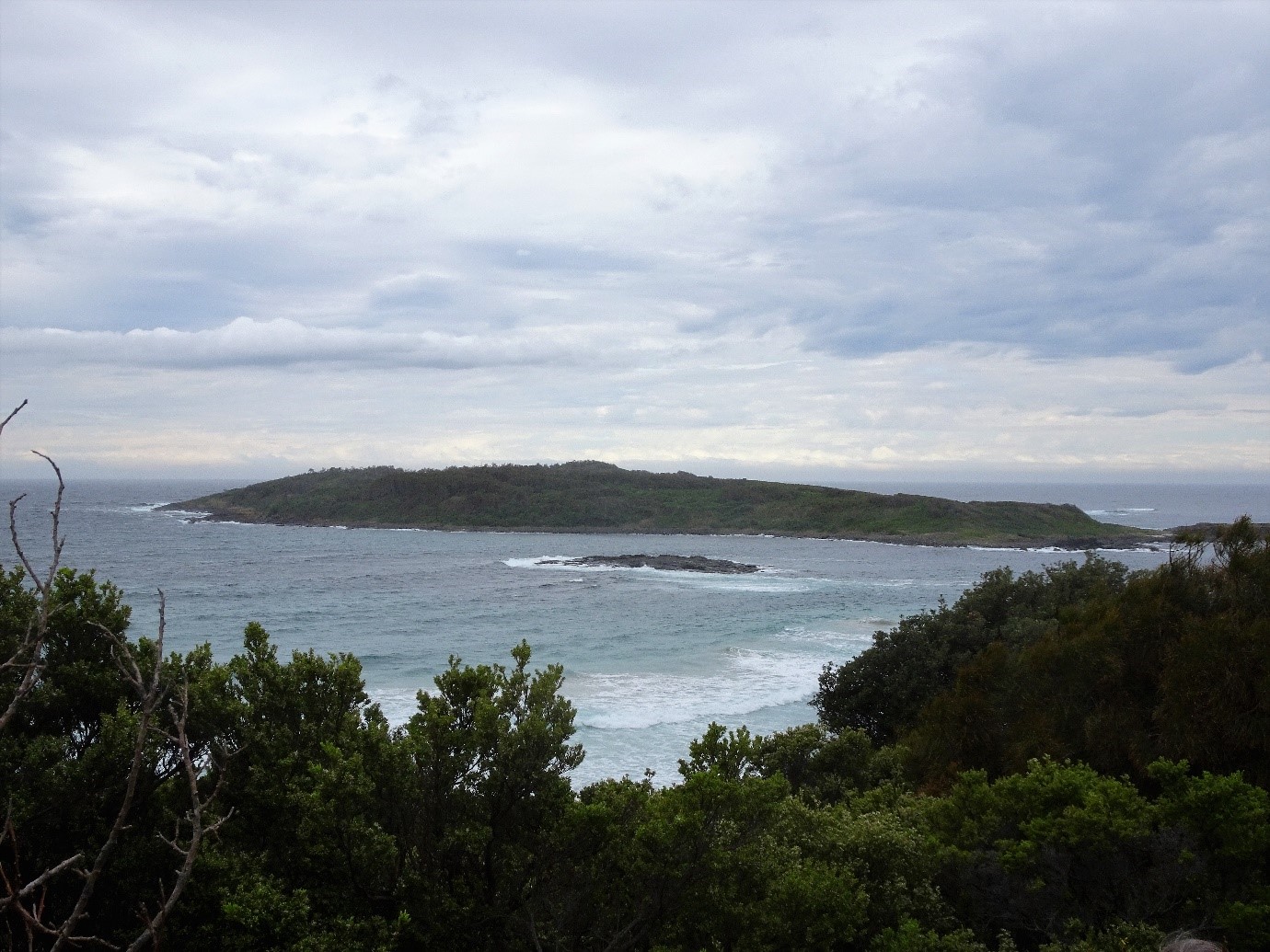
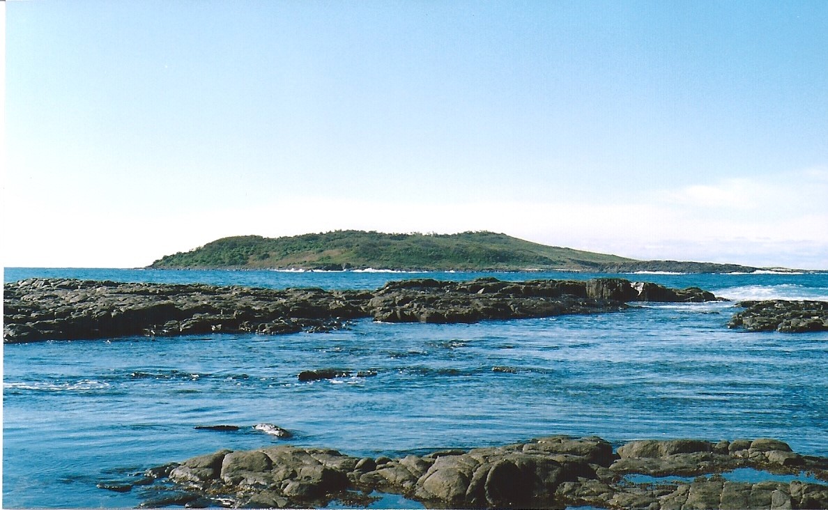
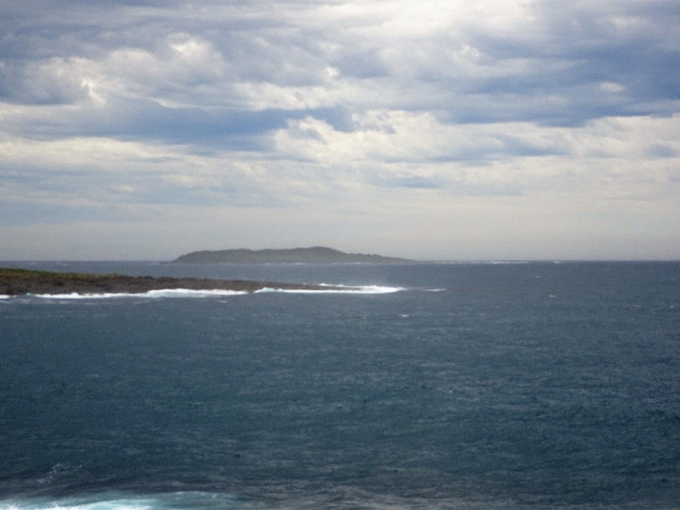
Brush Island and Racecourse Beach
Grade 4: Important as the area where the first Aboriginal people were seen by Cook, probably on Racecourse Beach, just to the south of Brush Island. Cook’s description of the local geography is detailed and precise. The Murramurang Aboriginal Area interpretative trail provides an insight into the lives of the local Aboriginal people and the impact on them of the arrival of Europeans. Cook, three weeks out from New Zealand, was now running short of water and came inshore hoping to be able to land near Brush Island.
Situation: Approximately 35km NE of the town of Batemans Bay, between Kioloa and Bawley Point. Good views of Brush Island and Racecourse Beach from O’Hara Head, Kioloa. Access to Racecourse Beach and the Murramarang Aboriginal Area is by a footpath running from a roadside car park just north of Racecourse Beach Caravan Park. On reaching the end of this path there are fine views of Racecourse Beach running south. Turn left here, passing a seat and follow the path for a short distance to the signage for the Murramarang Aboriginal Area. Closer views of Brush Island can be gained by walking along the shore line.
Coordinates (decimal):
Racecourse Beach: 35.38 S 150.46 E
Brush Island: 35.53 S 150.42 E
Endeavour Log and Journal, 21 April 1770:
at 7 a.m. the Log records his first sighting of Brush Island:
The bluff head seen last night [Point Upright] bore S 56 W 3 leags. Saw a ledge of breakers NNE lying off a low island.
There is a ledge of rock extending out to sea off Brush Island, and the Log records a change of course to north east at the time of this sighting to avoid it.
Later that morning the Log records the expedition’s first sighting of Aboriginal people on the coast of Australia:
4 or 5 miles off Shore – saw several Indians on a beach.
The Journal records:
…we steerd along shore NNE having a gentle breeze at SW and were so near the Shore as to distinguish several people upon the Sea beach. They appear’d to be of a very dark or black Colour but whether this was the real colour of their skins or the Clothes they might have on I know not.
Joseph Banks records the sighting:
In the morn we stood in with the land near enough to discern 5 people who appeard through our glasses to be enormously black: so far did the prejudices which we had built on Dampier’s account influence us that we fancied we could see their Colour when we could scarce distinguish whether or not they were men.
William Dampier had landed on the western coast of Australia in 1688 and 1699 and in his published accounts had given disparaging views of Australian Aboriginal people. He wrote ‘the colour of their Skins, both of their Faces and the rest of their Body, is Coal-black, like that of the Negroes of Guinea’.
Artist Sydney Parkinson wrote:
…we discovered five men upon them, through our glasses, who were quite naked. It is probable they live upon the produce of the earth, as we did not see any canoes, and the coast seems to be unfavourable for fishing. Latitude 35° 27.
The Murramarang Aboriginal Area, on the mainland west of Brush Island and north of Racecourse Beach was an Aboriginal meeting place for thousands of years before Cook’s arrival. Today there is a circular walk through the Area with interpretive panels explaining the Aboriginal peoples’ lifestyle and the impact of the arrival of Europeans.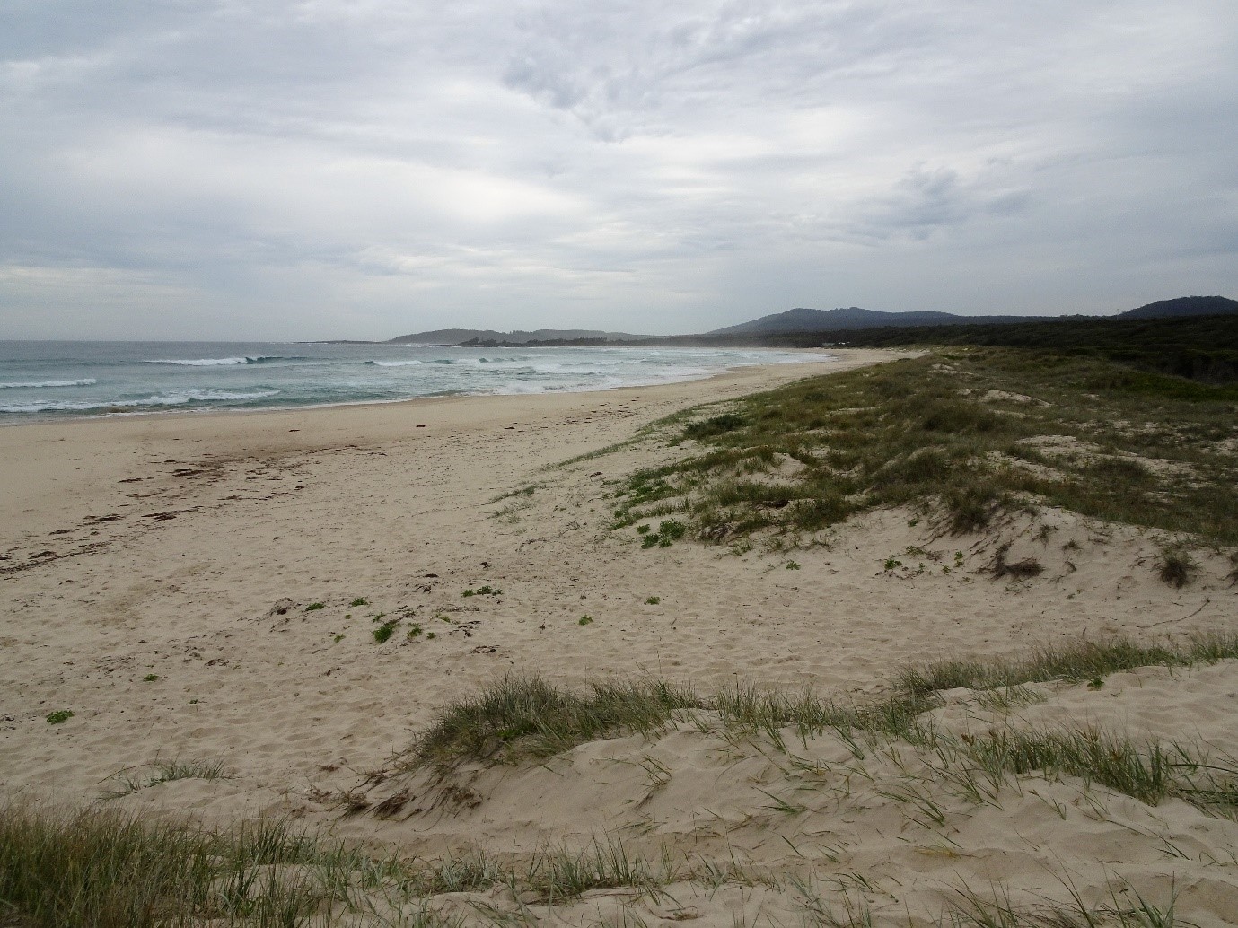
By noon Cook was closer to the island:
Endeavour Journal, 22 April 1770:
At Noon… A remarkable peaked hill lay inland the top of which look’d like a Pigeon house and occasioned my giving it that name, bore N 32 30 W and a small low Island laying close under the shore bore NW dist. 2 or 3 Leagues… When we first discovered this Island in the morning I was in hopes from its appearance that we should have found shelter for the Ship behind it but when we came to approach it near I did not think that there was even security for a boat to land, but this I believe I should have attempted had not the wind come on shore, after which I did not think it safe to send a boat from the ship as we had a large hollow sea from ye SE rowling in upon the land which beat every where very high upon the shore and this we have had ever sence we came upon the Coast. The land near the Sea coast still continues of a moderate height forming alternately rocky points and Sandy beaches, but inland between Mount Dromedary and the Pigeon house are several pretty high mountains, two only of which we saw [probably Mount Budawang (3727ft) and Currockbilly Mountain (3709ft)] but what were coverd with trees and these lay inland behind the Pigeon house and are remarkably flat atop with steep rocky clifts all round them as far as we could see.